Historical marker at the park entrance.
Calvert Cliffs State Park is a state park in Calvert County, Maryland, USA, situated on the Chesapeake Bay. On the 1612 John Smith map, the site is called "Rickard's Cliffes". The park is located in Lusby, Maryland.It is a short distance south of Calvert Cliffs Nuclear Power Plant operated by Constellation Energy.

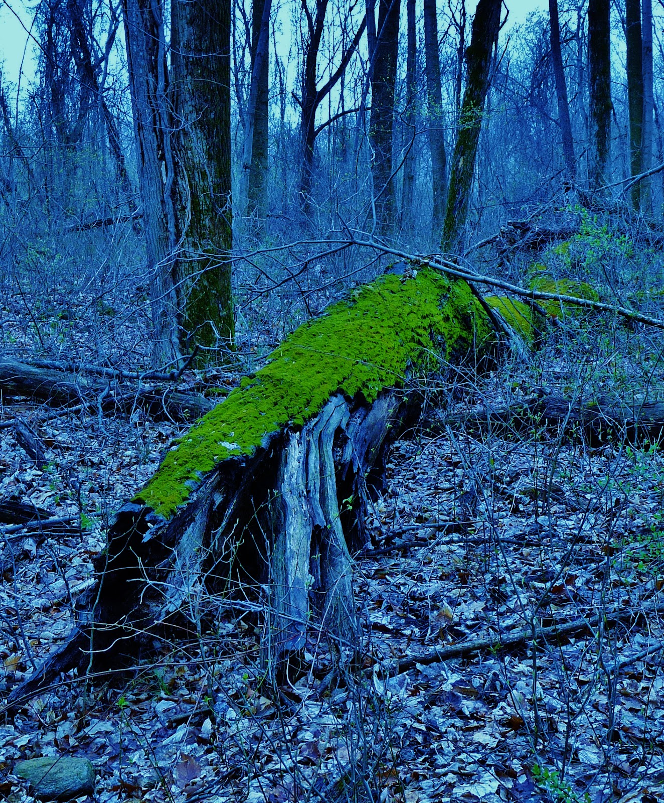
Entering the forest on the Red trail.
Calvert Cliffs State Park is a day-use park featuring a sandy beach, unique fossils, recycled tire playground, a freshwater and tidal marshland and 13 miles of hiking trails located in Calvert County. The massive cliffs from which Calvert Cliffs SP was named dominates the shoreline of the Chesapeake Bay for thirty miles in Calvert County and were formed over 15 million years ago when all of Southern Maryland was covered by a warm, shallow sea. When the sea receded 20-25 million years ago, marking the end of the Miocene period, cliffs were exposed and began eroding. Today these cliffs reveal the remains of prehistoric species Including sharks, whales, rays, and seabirds that were the size of small airplanes.

The woods slowly open up to a grassy wetland.

Thankfully the well made trail is off to one side and slightly elevated from the water.

Numerous dead trees populate the swamp and provide perches and homes to numerous birds.

Small footbridges traverse the many wet spots along the trail to the bay.

Beaver sign.

A submerged tree felled by one of the local beavers.
Beavers are most famous, and infamous, for their dam-building. They maintain their pond-habitat by reacting quickly to the sound of running water, and damming it up with tree branches and mud. Early ecologists believed that this dam-building was an amazing feat of architectural planning, indicative of the beaver's high intellect. This theory was questioned when a recording of running water was played in a field near a beaver pond. Despite the fact that it was on dry land, the beaver covered the tape player with branches and mud. The largest beaver dam is 2,790 ft (850 m) in length—more than half a mile long—and was discovered via satellite imagery in 2007. It is located on the southern edge of Wood Buffalo National Park in northern Alberta and is twice the width of the Hoover Dam which spans 1,244 ft (379 m).


The North American Beaver is the state animal of Oregon and New York, and a common school emblem for engineering schools, including the California Institute of Technology and MIT, the Massachusetts Institute of Technology.

American Beaver Skull
Castor canadensis
Gouache and Silverpoint
©2009 Melisa Beveridge


A Bluebird wintering at the park perches on some deadwood.


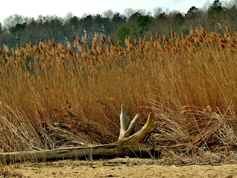
After a short 2 mile hike the bay is visible.

The slowly eroding sandy soil of Calvert cliffs.

Fossils aplenty wash up on shore here alongside shells and floatsam.


Sun worship.

The wetlands empty into the bay here at the beach.


At last, on my way back, the beaver makes an appearance, slapping his large, flat tail loudly on the water as a warning.

The trail back to the parking area always seems longer.